Blank Maps
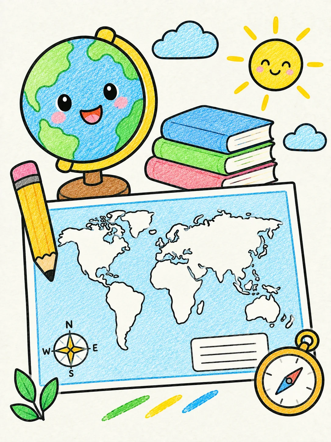
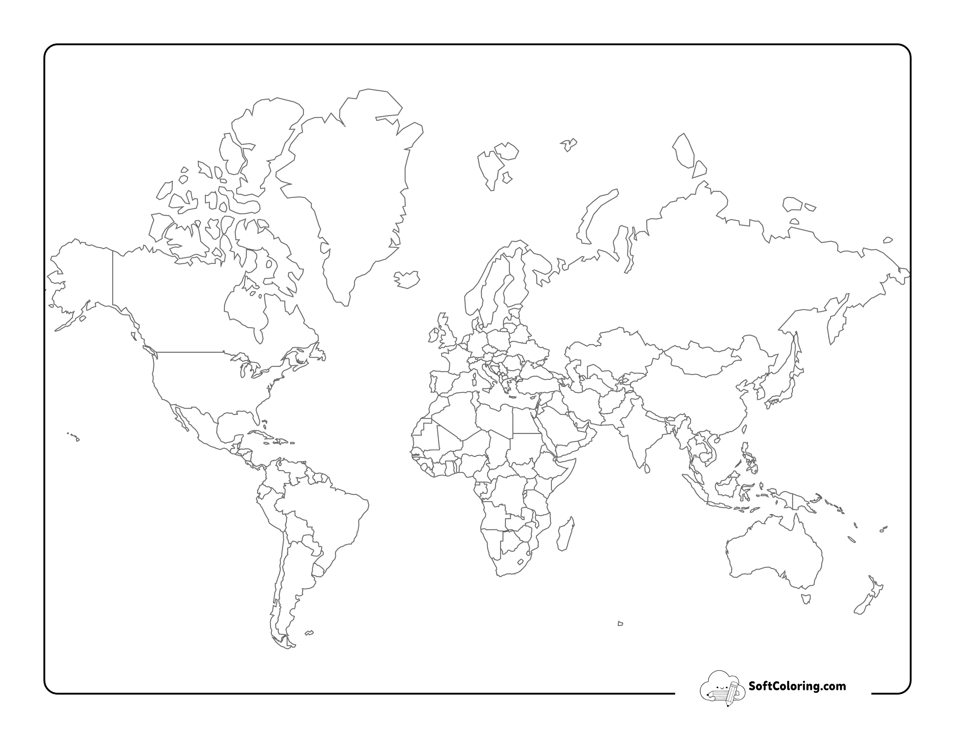
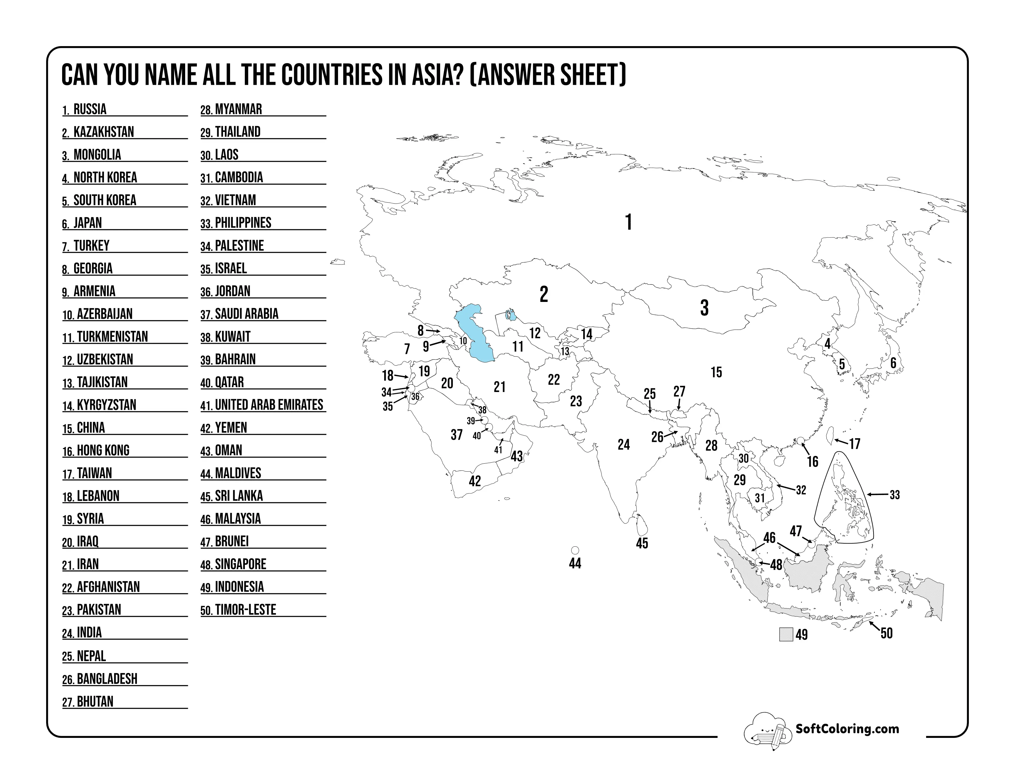
Turn geography into a hands-on activity with our Blank Maps. These printable map outlines give students a clean space to label countries, states, cities, oceans, rivers, mountains, or other geographic features. Use them for geography lessons, map quizzes, classroom projects, travel planning, or independent study at home.
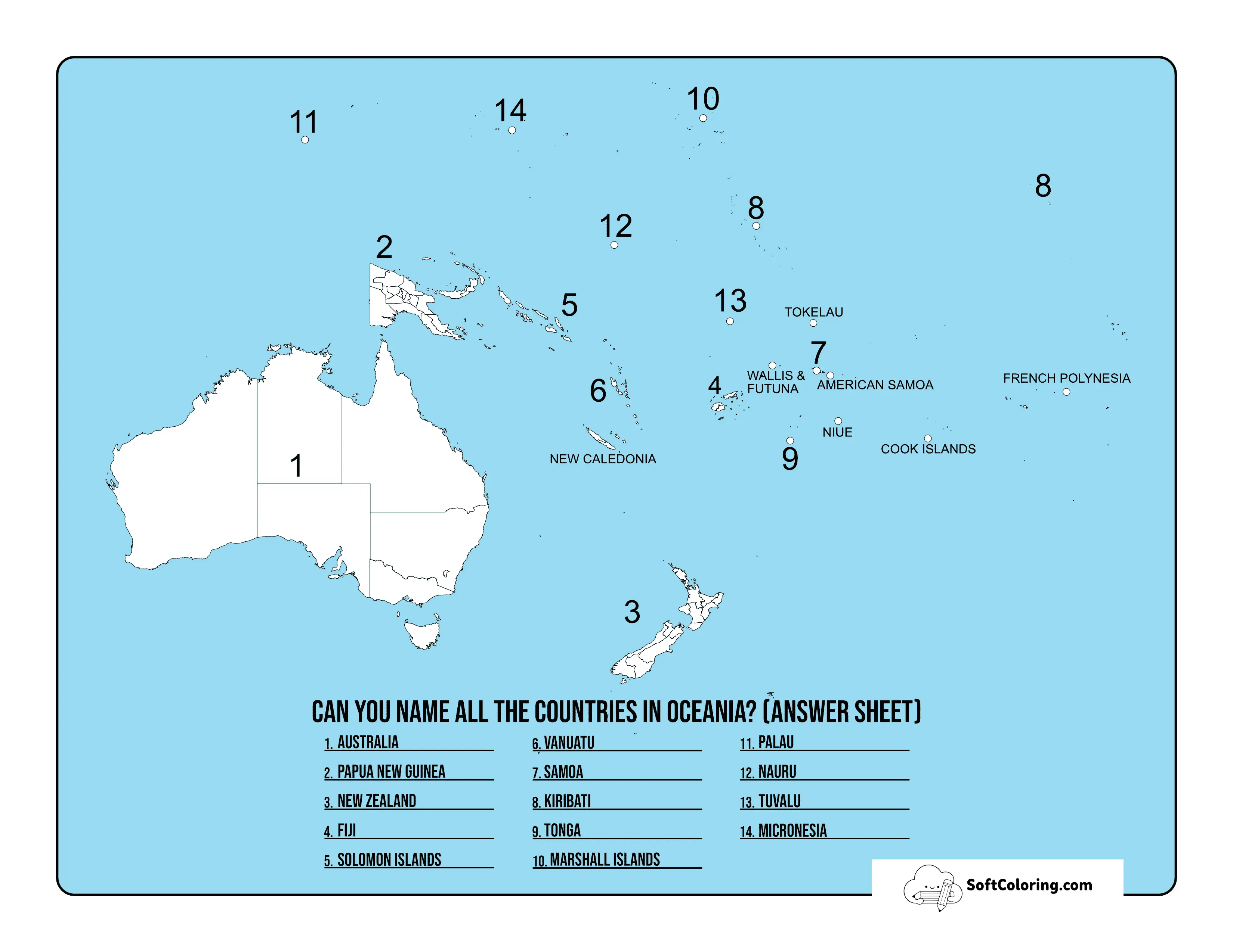
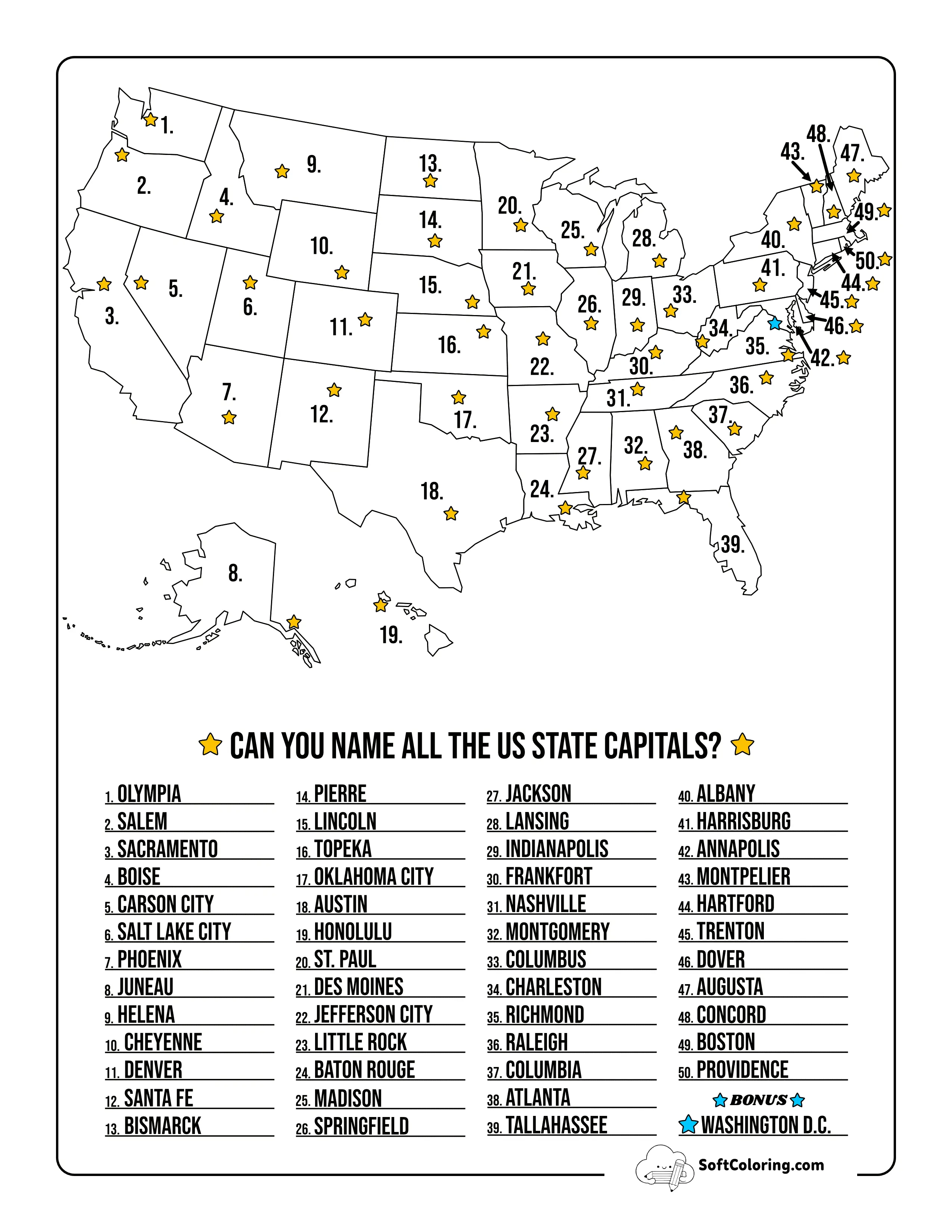
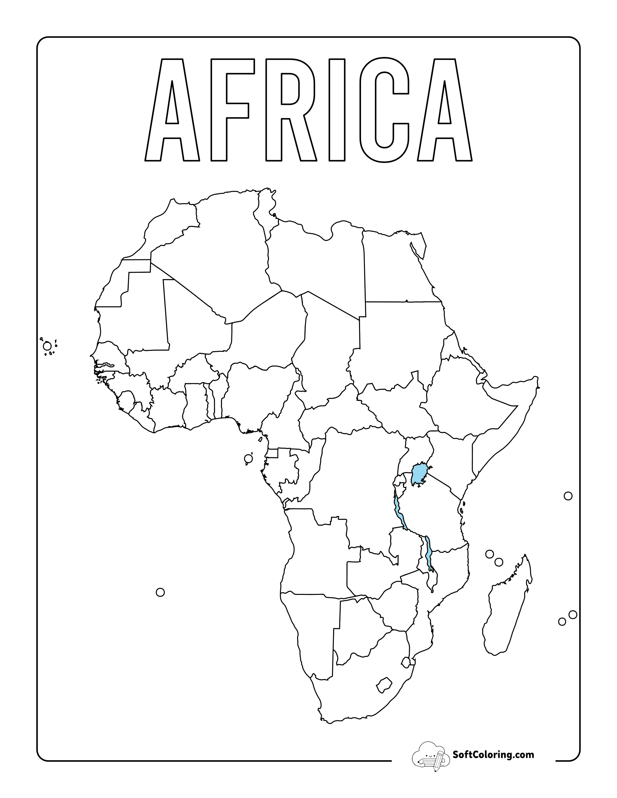
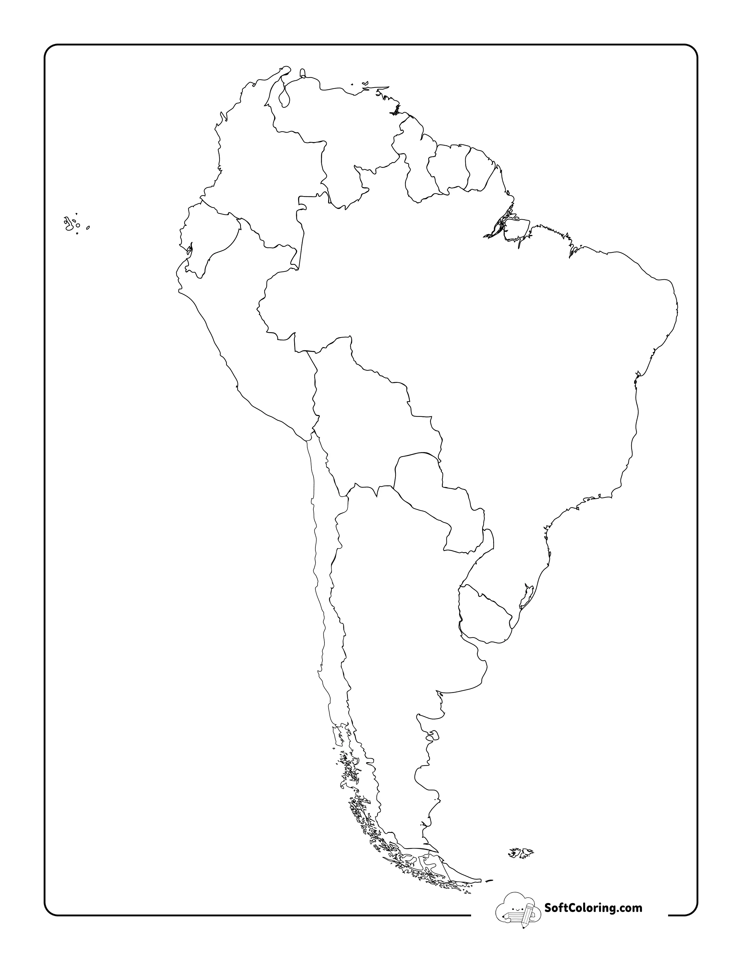
Can't Find What You're Looking For?
Let us know what you want to color next, and our team will draw it for you!
Request a Coloring Page
Learn Geography by Filling in the Map
A flexible starting point for labeling places, testing geographic knowledge, and creating personalized study maps.
Find Places on the Map
Blank outlines encourage learners to identify locations by shape and position instead of relying only on written lists or flashcards.
Practice Reading Location and Direction
Labeling maps helps learners pay attention to borders, relative positions, regions, and other visual relationships between places.
Build Your Own Reference Map
Students can add names, colors, symbols, or notes to turn a simple outline into a personalized geography resource.
Frequently Asked Questions
Useful tips for printing and using blank map worksheets.
Are these blank maps available both with and without state or national borders?
Do you offer specific regional maps alongside world maps?
Can teachers use these printable outline maps for classroom tests and quizzes?
Free Printable Blank Maps: Interactive Geography & Social Studies Worksheets
Understanding world geography is essential for developing global awareness and historical perspective. Our comprehensive library of free printable Blank Maps offers an adaptable, hands-on learning tool for students, educators, and geography enthusiasts. By removing pre-printed labels and color fills, these outline map worksheets encourage active recall, critical spatial analysis, and creative mapping activities across various grade levels.
Key Educational Benefits of Blank Outline Maps
Integrating blank map coloring pages into your social studies or earth science curriculum provides critical learning advantages:
Enhancing Active Recall & Map Memory: Testing geographical knowledge on a blank canvas forces the brain to retrieve border shapes, capital locations, and physical features from memory rather than passively reading a filled atlas.
Supporting Cross-Curricular Projects: From mapping ancient trade routes in history class to identifying global rainforest biomes in science, blank maps serve as a versatile foundation for multi-disciplinary study.
Improving Spatial & Visual Literacy: Coloring and labeling political boundaries or topographic regions helps students grasp concepts of scale, direction, neighbor relationships, and global proportions.
Ideal for Classroom Assessments, Homeschooling & Travel Planning
Whether you are a middle school social studies teacher designing interactive map quizzes, a homeschool parent organizing geography units, or a traveler charting past adventures, our blank map PDF downloads offer maximum utility. Each sheet is engineered in razor-sharp 300 DPI vector quality, ensuring smooth, crisp borders whether printed on standard printer paper or heavy cardstock.
Browse our map collection above, select your desired geographic region, and download your free printable blank outline maps to start exploring the world today!