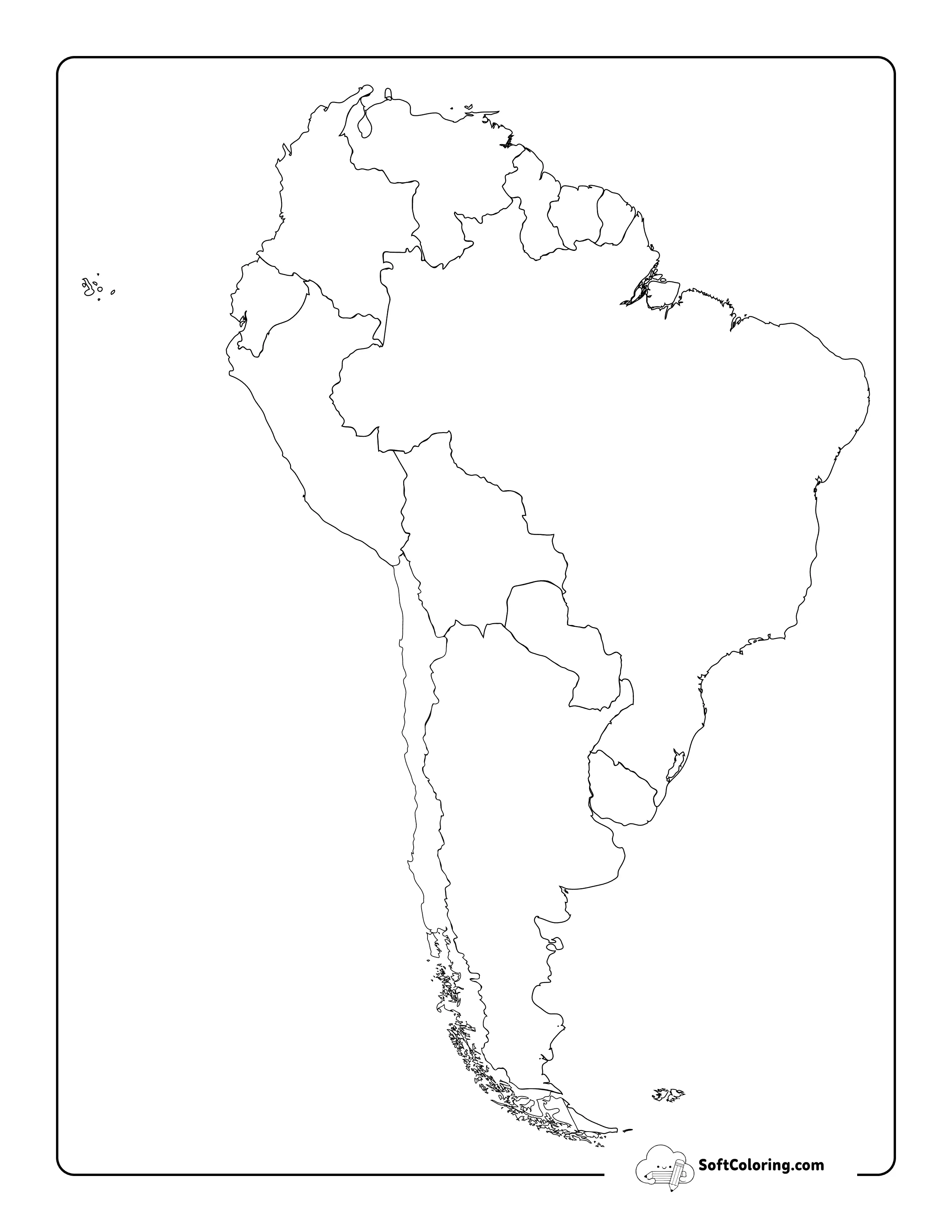
Free Printable Blank Map Of South America
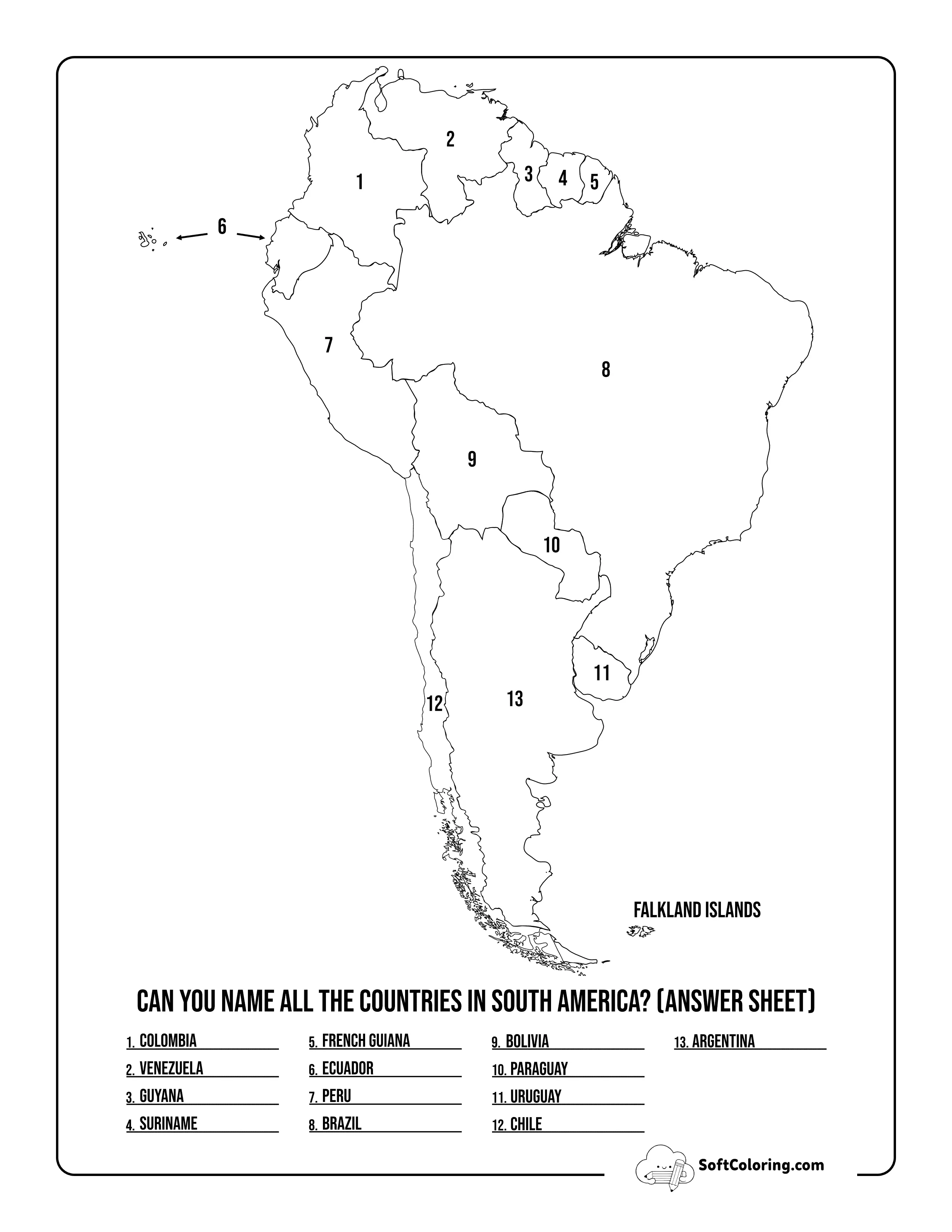
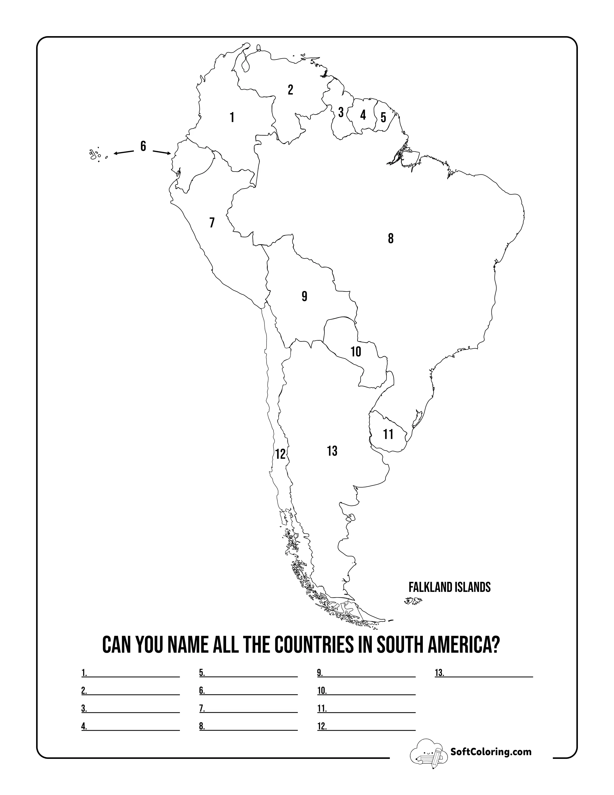
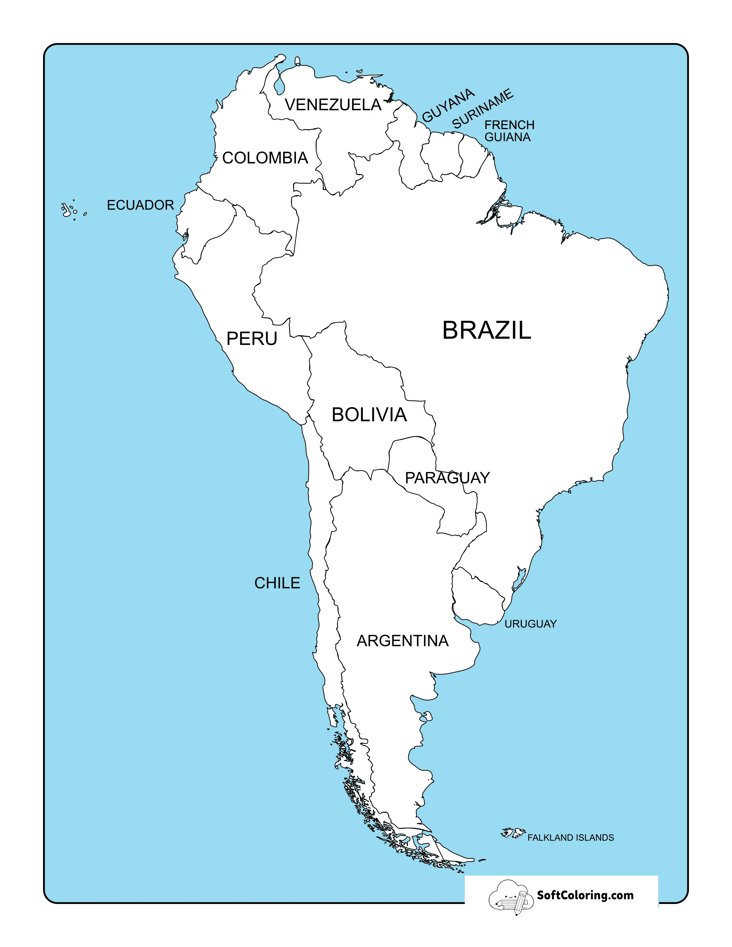
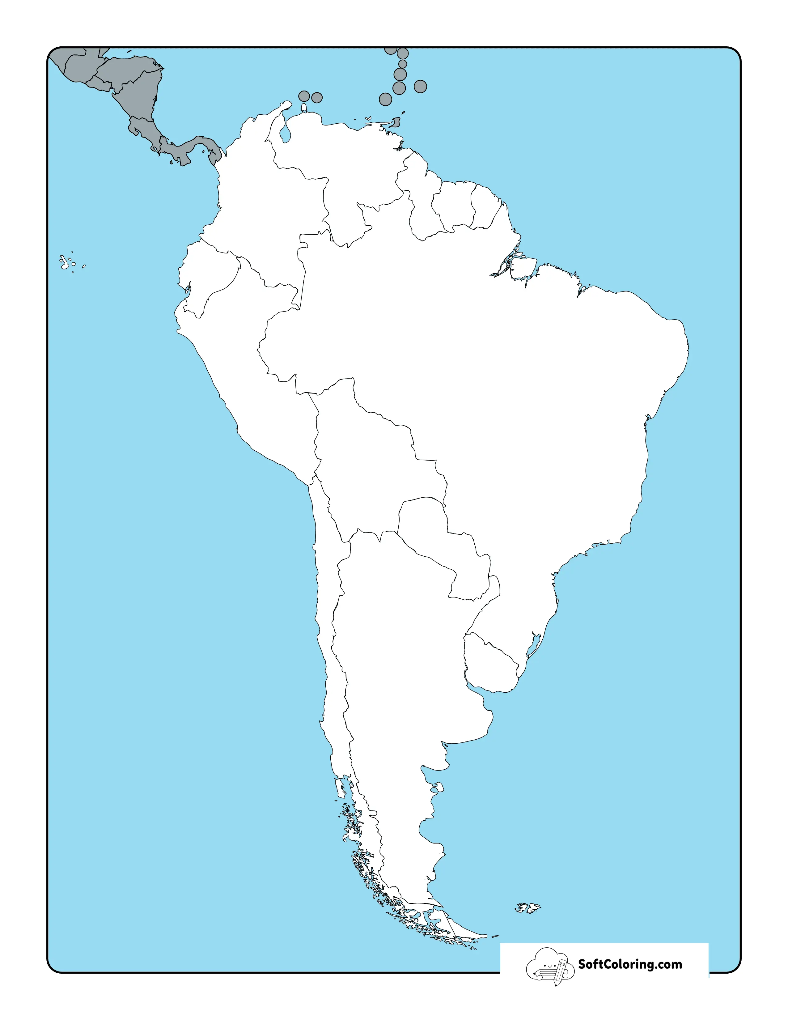
Use a clean outline of South America as a starting point for hands-on geography work. Our Blank Map of South America printables give learners space to identify countries, add major features, compare regions, and build their own map-based activities.
Can't Find What You're Looking For?
Let us know what you want to color next, and our team will draw it for you!
Request a Coloring Page
You Might Also Like These Related Collections ✨
Explore more adorable printables and popular themes handpicked for your little ones:
 4 Sheets
 Blank Map Of Asia
 6 Sheets
 Blank World Map
 4 Sheets
 Blank Oceania Map
 9 Sheets
 Blank Us Map
See South America Without the Labels
A blank map shifts the focus from finding information to recalling and placing it. With the continent’s countries left for learners to identify, students can gradually develop a clearer sense of where each place sits within South America and how neighboring countries relate to one another.
Different Ways to Fill the Map
- Country Challenge: Cover the labels and see how many countries learners can name and place independently before checking their answers.
- Follow the Geography: Mark features such as the Andes Mountains, Amazon River, Amazon Basin, and surrounding oceans to connect location with physical geography.
- Capitals at a Glance: Add capital cities to the appropriate countries for a useful location-and-memory exercise.
- Explore the Regions: Use shading or symbols to group countries by geographical region or create categories for a particular lesson.
- Create a Themed Map: Turn the outline into a project about climate, ecosystems, languages, natural resources, wildlife, or other topics related to South America.
Let Learners Build the Details
Rather than presenting every fact at once, a blank map leaves room for students to add information as they learn. This makes it suitable for both quick recall activities and longer projects that become more detailed over time.
Print our free Blank Map of South America for geography lessons, country-labeling practice, classroom projects, or independent learning.